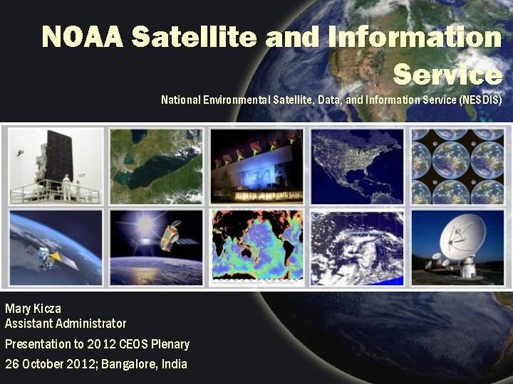
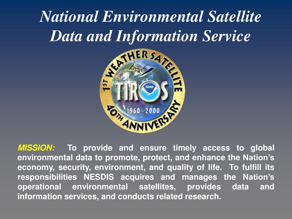
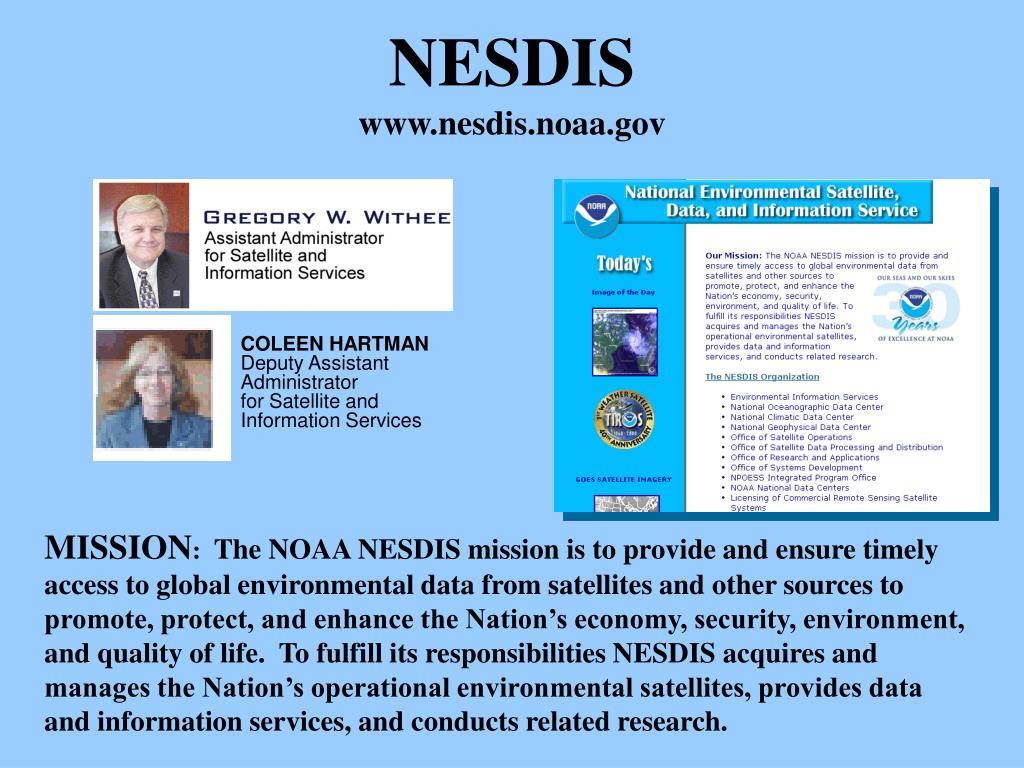
National Environmental Satellite Data And Information Service
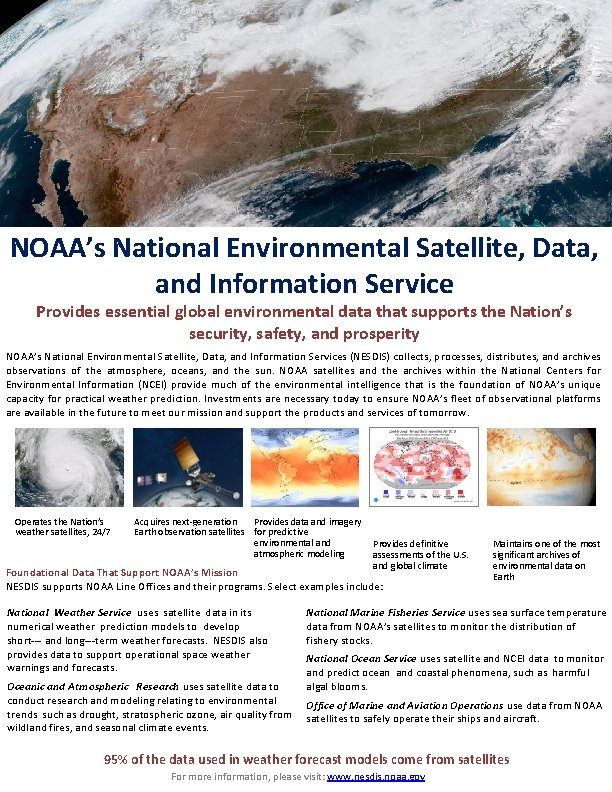
The National Environmental Satellite, Data, and Information Service (NESDIS), a crucial arm of the National Oceanic and Atmospheric Administration (NOAA), quietly but consistently churns out data that shapes our understanding of Earth's environment and impacts everything from weather forecasting to climate change monitoring.
NESDIS plays a vital role in collecting, processing, archiving, and distributing environmental data gathered from satellites and other sources. This information supports a wide array of applications, including weather prediction, climate research, disaster monitoring, and resource management. Understanding NESDIS's operations is crucial for comprehending how scientists and policymakers track and respond to environmental challenges.
What NESDIS Does
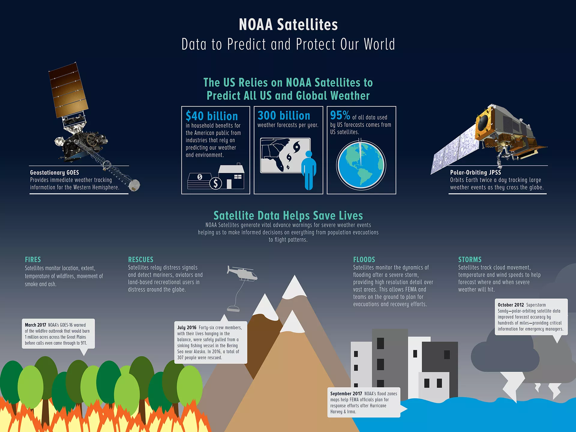
At its core, NESDIS operates a network of environmental satellites orbiting the Earth. These satellites are equipped with advanced sensors that collect data on various aspects of the planet, including temperature, humidity, cloud cover, sea surface temperature, and ice cover.
The data collected is then transmitted to ground stations, where it is processed and analyzed by NESDIS scientists and data specialists. This processed data is made available to a wide range of users, including government agencies, researchers, private sector companies, and the public.
Key Data Products and Services
NESDIS offers a diverse range of data products and services to meet the needs of its users. These include: global weather forecasts, climate data records, sea ice information, space weather forecasts, and disaster monitoring products.
These products are used by meteorologists to predict weather patterns, by climate scientists to study long-term climate trends, and by emergency managers to respond to natural disasters. The data also supports industries such as agriculture, transportation, and energy.
NESDIS also maintains a comprehensive archive of environmental data dating back several decades. This archive serves as a valuable resource for researchers studying long-term environmental changes.
The Significance of Satellite Data
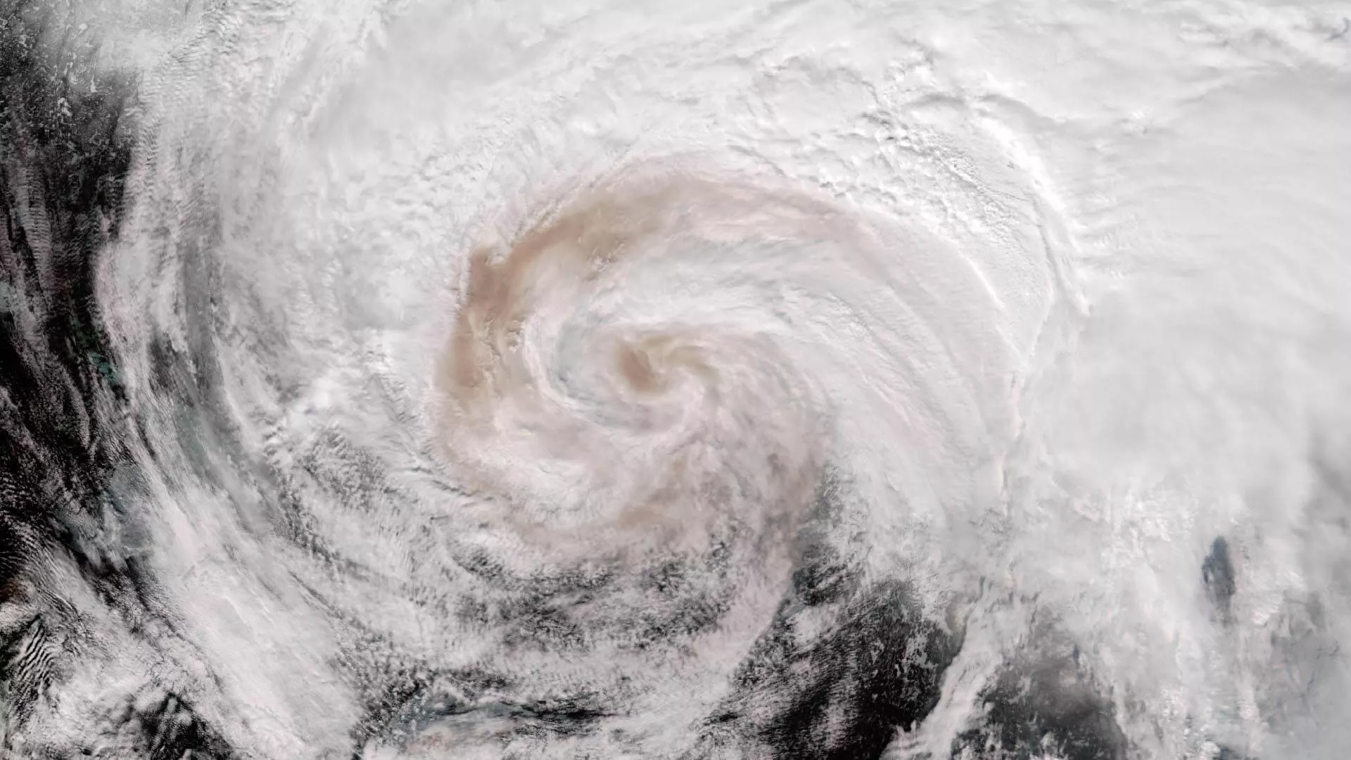
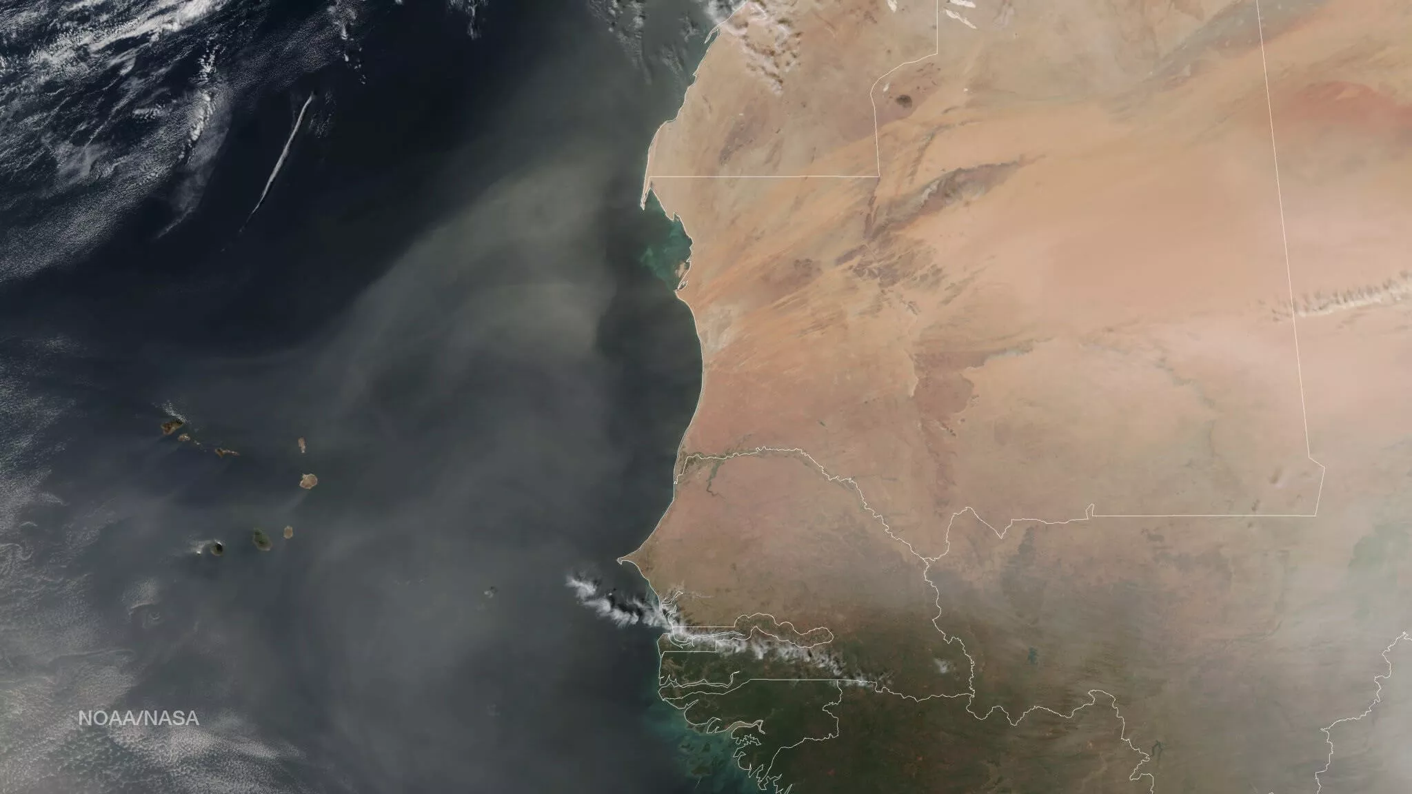
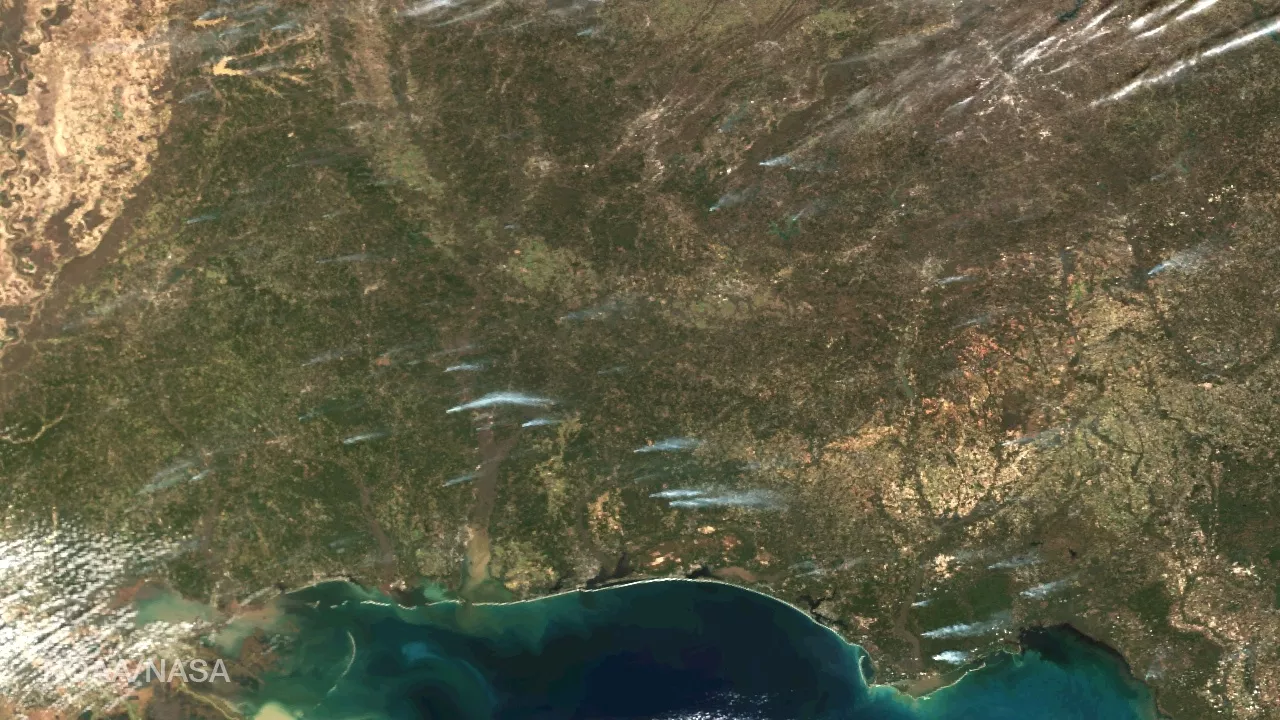
Satellite data is increasingly important for understanding and addressing environmental challenges. Satellites provide a unique vantage point for observing the Earth, allowing scientists to monitor changes in the environment on a global scale.
For example, satellites can track the movement of hurricanes, monitor the spread of wildfires, and measure the extent of sea ice cover. This information is essential for predicting and responding to natural disasters, managing natural resources, and mitigating the impacts of climate change.
NESDIS's satellite observations are critical for validating climate models and improving our understanding of the Earth's climate system. They also help inform policy decisions related to environmental protection and resource management.
"NESDIS data is fundamental to our understanding of the Earth system and our ability to protect lives and property," said Dr. Pam Sullivan, Acting Assistant Administrator for Environmental Observation and Prediction at NOAA, in a recent press release.
Impacts and Challenges
The data provided by NESDIS has a profound impact on society. Accurate weather forecasts save lives and reduce property damage, while climate data helps policymakers make informed decisions about climate change mitigation and adaptation.
However, NESDIS faces several challenges in fulfilling its mission. These include maintaining aging satellite infrastructure, developing new technologies for data collection and processing, and ensuring that data is accessible and usable for a wide range of users.
Funding for NESDIS and other environmental monitoring programs has been a subject of debate in recent years. Adequate funding is crucial for ensuring that NESDIS can continue to provide high-quality data and services to meet the growing needs of society.
One significant challenge is ensuring the continuity of satellite observations. Replacing aging satellites and launching new missions requires significant investment and careful planning. Delays in satellite launches can lead to gaps in data coverage, which can compromise weather forecasts and climate monitoring efforts.
Looking Ahead
NESDIS is constantly evolving to meet the challenges of a changing world. The agency is investing in new technologies, such as artificial intelligence and machine learning, to improve data processing and analysis.
NESDIS is also working to expand its partnerships with other government agencies, universities, and private sector companies to leverage their expertise and resources. Collaboration is essential for addressing complex environmental challenges that require interdisciplinary solutions.
By continuously innovating and adapting to new challenges, NESDIS remains a critical resource for understanding and protecting our planet.
The future of environmental monitoring hinges on the ability of organizations like NESDIS to adapt and innovate. As climate change accelerates and natural disasters become more frequent, the need for accurate and reliable environmental data will only continue to grow.